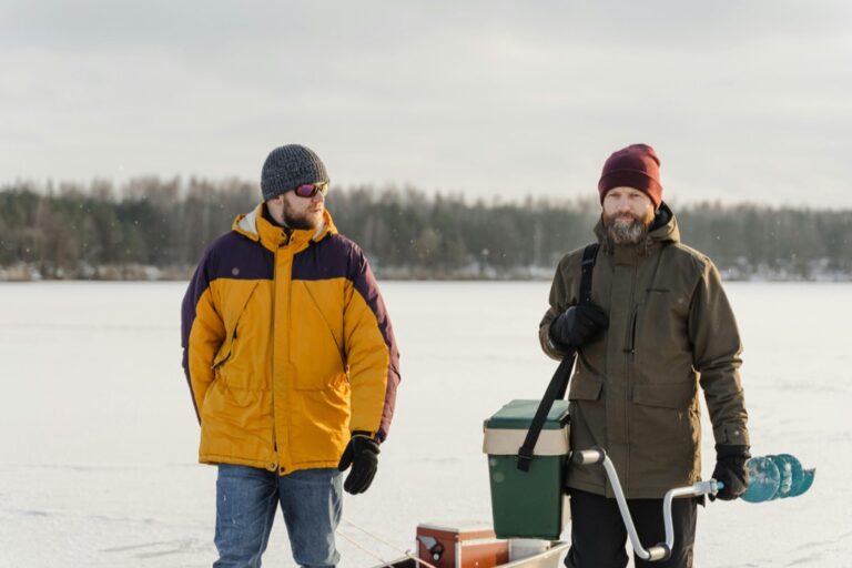
6 Best Lake Maps For Vertical Profiles For Anglers
Master vertical fishing with these 6 top-rated lake maps. Learn to identify depth changes and structure to locate fish effectively in any water column.
Mastering the water requires more than just a good rod and a bit of luck; it demands a clear understanding of the hidden world beneath your hull. By leveraging advanced digital mapping, you can transform a frustrating day of blind casting into a surgical strike on your target species. These six mapping solutions provide the vertical insight necessary to turn every outing into a strategic success.
Disclosure: As an Amazon Associate, this site earns from qualifying purchases. Thank you!
Understanding Vertical Profiles for Lake Angling
Vertical profiles represent the underwater topography of a lake, revealing the steep drops, shallow flats, and submerged structures that dictate fish behavior. When you understand the slope of a lake bed, you can identify "highways" where fish travel between deep-water sanctuaries and shallow feeding zones. Without this data, you are essentially fishing in the dark, hoping to stumble upon the right depth.
Successful anglers treat these contours as a puzzle rather than just lines on a screen. By analyzing the vertical transitions, you can predict exactly where a bass might suspend or where a walleye will hold during a midday heat spike. It is the difference between casting into open water and dropping your lure precisely onto a structural breakline.
Navigating Depth with Navionics Platinum Plus

If you want the gold standard in high-resolution detail, the Navionics Platinum Plus is the tool to beat. It offers incredible 3D views and satellite overlays that help you visualize the lake’s shoreline and bottom composition simultaneously. This is the perfect choice for tournament anglers or those who frequently travel to new, unfamiliar reservoirs.
The sheer depth of data here is unmatched, providing density contours that allow you to identify subtle changes in depth that others miss. While it comes at a premium price point, the clarity it provides during high-speed navigation is worth every penny. If you prioritize visual immersion and constant updates, this is the map card you need in your console.
Garmin LakeVü g3 Ultra for Precision Mapping

Garmin’s LakeVü g3 Ultra is built for the angler who demands absolute precision and seamless integration with their marine electronics. It features industry-leading Auto Guidance technology, which calculates the safest and most efficient route to your chosen fishing hole. It is particularly effective for those who rely on Garmin’s sonar clarity to cross-reference depth data.

The shading features on these maps make identifying drop-offs and ledges intuitive, even for beginners. It is a robust, reliable system that rarely glitches, making it a favorite for those who spend long days on the water. If you are already running a Garmin head unit, this is the most logical and powerful upgrade you can make.
Humminbird LakeMaster Plus for Contour Detail

Humminbird’s LakeMaster Plus is the king of customization, specifically for those who need to see how water levels impact their favorite spots. The "Water Level Offset" feature allows you to adjust the map to match current lake conditions, ensuring your contour lines remain accurate even during seasonal drawdowns. It is an essential feature for anyone fishing man-made reservoirs.
The "Depth Highlight" function is another game-changer, allowing you to shade a specific depth range in bright colors. If you know the fish are sitting in 12 to 15 feet of water, you can highlight that range and ignore everything else. This map is the ultimate choice for the data-driven angler who wants to filter out the noise and focus on the strike zone.
C-MAP Reveal for Advanced Bathymetric Data
C-MAP Reveal stands out for its exceptional relief shading, which provides a near-photographic view of the bottom. By combining high-definition bathymetry with satellite imagery, it creates a 3D-like experience that makes rocks, wrecks, and ledges pop off the screen. It is an excellent option for anglers who fish complex, rocky environments where terrain is key.
The data is crisp, easy to read, and provides a clear perspective of the lake bed’s texture. While the interface might have a slight learning curve compared to others, the visual payoff is significant. If you fish in areas with diverse underwater features, the C-MAP Reveal will help you visualize the terrain like never before.
Lowrance Genesis Live for Custom Mapping

Lowrance Genesis Live is the premier choice for anglers who want to map their own waters in real-time. As you drive, the system creates high-definition 1/2-foot contour maps directly on your screen, filling in the gaps left by standard base maps. It is perfect for local lakes that haven’t been professionally surveyed or for finding secret spots that aren’t on any commercial chart.
The beauty of this system is that it grows with you; the more you explore, the more detailed your map becomes. It turns your boat into a survey vessel, giving you a competitive edge on your home lake. If you value DIY exploration and want the most current data possible, Genesis Live is an indispensable asset.
Fishidy Maps for Community-Driven Insights

Fishidy offers a unique approach by blending professional mapping with community-sourced fishing reports. It allows you to see where other anglers are catching fish and what techniques they are using, all overlaid on reliable map data. It is a social platform that helps you understand the "why" and "where" of successful catches.
This is a fantastic resource for beginners who are still learning how to read the water. While it doesn’t offer the technical precision of a dedicated GPS card, the community intelligence is a massive shortcut to success. If you enjoy the social aspect of fishing and want to learn from others, Fishidy is a great addition to your digital toolkit.
Interpreting Data for Targeted Fish Location
- Identify the Breakline: Look for areas where closely packed contour lines indicate a steep drop, as these are natural ambush points.
- Find the Flats: Shallow, flat areas near deep water are prime feeding zones during dawn and dusk.
- Seek Out Points: Underwater points that extend into the main lake basin are perennial hotspots for predatory fish.
- Monitor Transitions: Focus on areas where the bottom composition changes, such as a transition from mud to rock.
Essential Gear for Digital Map Integration
To get the most out of these maps, you need hardware that can handle the processing load. Ensure your fish finder has a high-speed processor to prevent lag when scrolling through high-definition detail. Additionally, consider a secondary tablet or smartphone with offline map capabilities as a reliable backup.
- High-speed SD cards: Always use high-quality, weather-resistant cards to store your map data.
- External GPS antennas: These can improve your position accuracy, which is vital when fishing tight, structure-heavy spots.
- Power management: Ensure your electronics are wired to a dedicated, stable power source to avoid data corruption during voltage drops.
Safety Tips for Navigating Unfamiliar Waters
Even with the best maps, never rely solely on digital data to navigate shallow or hazardous areas. Always keep a physical eye on the water, watching for signs of submerged timber, rocks, or changing currents. Digital maps are a guide, not a substitute for situational awareness or common sense.
- Always maintain a lookout: Don’t get so absorbed in your screen that you miss hazards in your path.
- Check for updates: Regularly update your software and map cards to ensure you have the latest information.
- Respect the weather: High winds and storms can change water levels and visibility, making previously safe routes dangerous.
Investing in the right digital mapping tool is the fastest way to elevate your angling from guesswork to a calculated science. By choosing the system that best fits your specific fishing style and hardware, you gain the ability to read the water like a professional. Take the time to master your chosen platform, and you will find that the lake starts giving up its secrets much more readily.