7 Best Weather Apps for Water Activities That Pros Rely On
Discover 7 specialized weather apps for water activities with marine forecasts, wind data, wave heights, and safety alerts that generic weather apps lack.
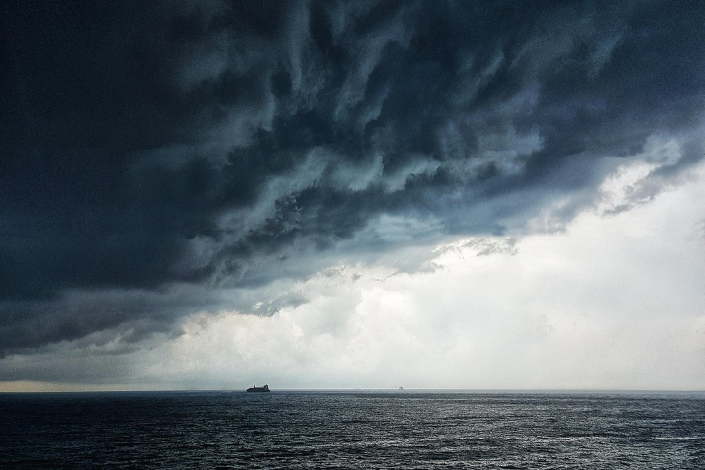
Whether you’re planning a sailing trip or hitting the beach for a weekend getaway, having the right weather app can make or break your water adventure. Most generic weather apps fall short when it comes to marine-specific conditions like wind speed, wave height, and tide information that water enthusiasts need most.
The best weather apps for water activities go beyond basic forecasts to deliver specialized marine data, real-time conditions, and detailed hourly predictions. These apps help you make informed decisions about when to launch your boat, where to find the calmest waters, and how to stay safe on the water.
Disclosure: As an Amazon Associate, this site earns from qualifying purchases. Thank you!
WeatherBug: Comprehensive Marine Weather Forecasting
WeatherBug stands out among water activity apps by offering specialized marine forecasting that goes beyond basic weather predictions. You’ll find detailed offshore conditions and safety features that make it invaluable for serious water enthusiasts.
Real-Time Lightning Detection for Safety
WeatherBug’s lightning detection network provides real-time strike data within a 25-mile radius of your location. You’ll receive instant alerts when lightning activity approaches your area, giving you crucial time to seek shelter. This feature alone can save your life during sudden summer storms that develop quickly over water.
Tide Charts and Water Temperature Data
You’ll access comprehensive tide predictions showing high and low tide times with precise water level changes. WeatherBug includes current water temperatures for thousands of locations, helping you plan swimming sessions and determine wetsuit needs. The app updates this marine data hourly, ensuring you have the most current conditions.
Customizable Weather Alerts
WeatherBug lets you set personalized alerts for wind speeds, wave heights, and severe weather warnings specific to your water activities. You can customize thresholds based on your skill level and equipment, receiving notifications only when conditions exceed your comfort zone. These targeted alerts prevent information overload while keeping you informed about dangerous conditions.
Windy: Advanced Wind and Wave Predictions
Windy stands out as the most sophisticated weather app for serious water enthusiasts who need precision forecasting. You’ll find detailed atmospheric data that goes far beyond basic weather conditions.
Interactive Weather Maps and Layers
Choose from multiple weather layers to visualize wind patterns, precipitation, and temperature changes across your area. You can overlay different data sets like wind gusts, pressure systems, and cloud cover to get a complete picture. The interactive maps update every three hours with high-resolution data that’s accurate down to specific coordinates.
Detailed Wind Speed and Direction Forecasts
Track wind speeds down to 10-meter resolution with color-coded maps showing exact wind direction and velocity. You’ll see hourly forecasts for the next 10 days, including wind gusts that can make or break your sailing plans. The app displays wind barbs and arrows that clearly indicate both speed and direction changes throughout the day.
Wave Height and Swell Information
Access comprehensive wave data including significant wave height, swell direction, and wave period measurements. You can view detailed offshore conditions up to 7 days ahead, with specific information about primary and secondary swell patterns. The wave model updates four times daily and covers both coastal and deep-water conditions.
NOAA Weather Radar: Official Government Weather Data
NOAA Weather Radar delivers the most authoritative marine forecasts available, backed by the National Weather Service’s extensive network of weather stations and oceanographic buoys. You’re getting data straight from the source that professional mariners and Coast Guard operations rely on daily.
Marine Weather Warnings and Advisories
Marine weather warnings through NOAA provide critical safety alerts that generic weather apps often miss or delay. You’ll receive Small Craft Advisories when winds reach 20-33 knots, Gale Warnings for 34-47 knot conditions, and Storm Warnings for winds exceeding 48 knots. These official advisories include specific timing, affected areas, and recommended actions for different vessel types.
Buoy Data and Ocean Conditions
Buoy data from NOAA’s network of 100+ ocean stations gives you real-time wave heights, water temperatures, and wind measurements directly from the water. You can access hourly updates from specific buoys near your activity location, providing accurate conditions rather than computer-modeled estimates. This data includes significant wave height, dominant wave period, and atmospheric pressure readings updated every 10 minutes.
Severe Weather Tracking
Severe weather tracking through NOAA radar shows precipitation intensity, storm movement, and lightning activity with 6-minute update intervals. You’ll see detailed radar imagery that reveals storm structure, including rotation signatures in severe thunderstorms and precipitation type discrimination. The system provides storm-relative motion vectors and projected paths, giving you precise timing for when conditions will impact your location.
AccuWeather: Reliable Hourly and Daily Forecasts
AccuWeather stands out for its precision timing features that matter most when you’re planning water activities. The app’s strength lies in its ability to predict exactly when conditions will change throughout your day on the water.
MinuteCast Precipitation Predictions
AccuWeather’s MinuteCast feature provides minute-by-minute precipitation forecasts for the next two hours, showing exactly when rain will start and stop at your specific location. You’ll know whether that approaching cloud will dump rain in 15 minutes or pass harmlessly overhead. This precision helps you decide whether to launch your kayak or wait out a brief shower instead of canceling your entire water adventure.
Water Temperature Monitoring
The app tracks water temperatures at thousands of beaches, lakes, and popular swimming spots with daily updates from local monitoring stations. You’ll see current temperatures alongside historical averages to gauge whether conditions are unusually warm or cold for the season. This data helps you pack appropriate wetsuits or decide if it’s comfortable enough for extended swimming sessions without thermal protection.
UV Index for Sun Protection
AccuWeather provides hourly UV index forecasts that show when sun exposure becomes dangerous during your water activities. The app alerts you when UV levels reach moderate, high, or extreme categories throughout the day. You can plan your most exposed activities like paddleboarding during lower UV hours and schedule shade breaks when the index peaks between 10 AM and 4 PM.
Weather Underground: Hyperlocal Weather Conditions
Weather Underground delivers hyper-accurate forecasts through its massive network of personal weather stations. You’ll get precise conditions for your exact launch point rather than estimates from airports miles away.
Crowd-Sourced Weather Station Data
Weather Underground’s 250,000+ personal weather stations provide real-time data from actual waterfront locations. You’ll see current wind speeds and temperature readings from stations positioned at marinas, beaches, and lakeshores within a mile of your activity spot, delivering accuracy that government stations can’t match.
Detailed Precipitation and Storm Tracking
The app’s SmartForecast technology combines radar data with hyperlocal station reports to predict exactly when rain will start and stop. You’ll receive precise timing for approaching storms, including intensity levels and movement patterns, helping you decide whether to wait out a 15-minute shower or postpone your outing.
Marine-Specific Weather Features
Weather Underground includes barometric pressure trends and dewpoint data that serious boaters rely on for weather pattern analysis. You’ll access hourly wave forecasts for major lakes and coastal areas, plus water temperature readings from nearby stations that update every 15 minutes during peak season.
SailFlow: Specialized Wind Forecasting for Water Sports
SailFlow delivers targeted wind forecasting that goes beyond basic weather apps by focusing specifically on conditions that matter most for sailing, windsurfing, and kitesurfing. This specialized platform provides the detailed wind analysis serious water sports enthusiasts need to maximize their time on the water.
Real-Time Wind Speed Measurements
SailFlow’s network of waterfront weather stations provides current wind readings from actual launch sites rather than inland airports. You’ll get precise wind speed and direction data from marinas and beaches where you actually plan to sail or kite. The app updates measurements every 10 minutes, showing both sustained winds and gusts to help you assess real conditions before heading out.
Sailing and Kitesurfing Conditions
The app translates wind forecasts into activity-specific recommendations for different skill levels and equipment setups. You’ll see optimal wind ranges for various sail sizes, kite dimensions, and board types based on current conditions. SailFlow also factors in wind consistency and thermal patterns to predict when conditions will be most favorable for extended sessions on the water.
Location-Specific Wind Predictions
SailFlow’s forecasting models account for local topography and thermal effects that create unique wind patterns at popular water sports locations. You’ll receive detailed predictions for specific launch points including how nearby hills, buildings, or land masses affect wind flow. The app provides hourly forecasts for the next 48 hours with particular attention to wind direction changes that impact sailing angles and safety.
PredictWind: Professional Marine Weather Routing
PredictWind stands apart as the most sophisticated weather routing platform for serious mariners. You’ll find professional-grade forecasting tools that commercial vessels and racing crews rely on worldwide.
Advanced Weather Modeling Systems
PredictWind runs multiple weather models simultaneously, including ECMWF, GFS, and their proprietary PWG system. You’ll see forecast comparisons that reveal model consensus or disagreement, helping you make confident decisions. The system updates models every six hours with resolution down to 1km for coastal areas and 8km for offshore waters.
Offshore Weather Forecasting
You’ll access detailed forecasts for open ocean conditions up to 8 days ahead, including significant wave height, swell period, and wind sea data. PredictWind provides storm tracking with intensity predictions and grib file downloads for marine electronics. The platform covers global waters with specialized regional models for areas like the Caribbean, Mediterranean, and Pacific Northwest.
Route Planning and Optimization Tools
PredictWind’s routing engine calculates optimal courses based on your vessel’s polar data and weather conditions. You can input departure times, waypoints, and safety parameters to generate multiple route options. The system factors in current weather, predicted conditions, and your boat’s performance characteristics to minimize passage time or maximize comfort levels.
Conclusion
Choosing the right weather app transforms your water activities from risky guesswork into informed adventures. These seven specialized apps provide the marine-specific data you need—from real-time wind measurements to precise wave forecasts—that generic weather services simply can’t match.
Whether you’re a weekend sailor using SailFlow’s wind-focused forecasts or a serious mariner relying on PredictWind’s advanced routing capabilities your safety and enjoyment depend on accurate marine weather data. Each app serves different needs and skill levels so you’ll want to test a few options to find your perfect match.
Don’t let unpredictable weather cut your water adventures short. Download one of these proven weather apps today and start planning your next trip with confidence knowing you have professional-grade marine forecasting at your fingertips.
Frequently Asked Questions
Why are specialized weather apps better than generic ones for water activities?
Specialized weather apps provide essential marine-specific information that generic apps lack, including wind speed, wave height, tide data, and offshore conditions. They offer real-time marine weather warnings, buoy data, and activity-specific forecasts that help ensure safety and optimal experiences on the water.
What makes WeatherBug suitable for marine weather forecasting?
WeatherBug offers comprehensive marine forecasting with real-time lightning detection within 25 miles, hourly tide charts, current water temperature data for thousands of locations, and customizable weather alerts. These features help users plan water activities safely and receive relevant notifications without information overload.
How does Windy provide advanced wind and wave predictions?
Windy features interactive weather maps with 10-meter resolution wind tracking, hourly forecasts for 10 days ahead, and comprehensive wave data including significant wave height and swell direction. The app updates every three hours and provides four daily wave condition updates for both coastal and deep-water areas.
What authority does NOAA Weather Radar bring to marine forecasting?
NOAA Weather Radar delivers authoritative forecasts backed by the National Weather Service’s network of weather stations and oceanographic buoys. It provides critical marine warnings like Small Craft Advisories and real-time data from over 100 ocean stations, ensuring accurate conditions rather than computer estimates.
How does AccuWeather’s MinuteCast feature help water enthusiasts?
AccuWeather’s MinuteCast provides minute-by-minute precipitation forecasts for the next two hours, helping users decide whether to launch immediately or wait out brief showers. This precision timing feature is essential for planning water activities and avoiding unexpected weather changes.
What makes Weather Underground’s forecasts hyper-accurate?
Weather Underground uses over 250,000 personal weather stations to provide precise conditions for specific launch points. Its SmartForecast technology combines radar data with local station reports, offering real-time data from waterfront locations like marinas and beaches for enhanced accuracy.
How does SailFlow cater specifically to wind sports enthusiasts?
SailFlow provides real-time wind measurements from waterfront weather stations and translates forecasts into activity-specific recommendations based on skill levels and equipment. It factors in local topography and thermal effects, offering hourly forecasts for 48 hours ahead tailored to water sports conditions.
What advanced features does PredictWind offer for serious mariners?
PredictWind utilizes multiple weather models including ECMWF and GFS, providing detailed forecasts up to eight days ahead. Its routing engine calculates optimal courses based on vessel performance and weather conditions, making it ideal for commercial vessels and racing crews requiring advanced storm tracking.