6 Best Fishing Satellite Imagery Apps For Scouting Pros
Unlock offshore success with our top 6 fishing satellite apps. Master sea surface temps and chlorophyll data to scout prime zones and boost your catch rates.
Standing on the shoreline, you’ve likely looked out at a vast, featureless expanse of water and wondered where the fish are hiding beneath the surface. Modern satellite technology has transformed this guessing game into a calculated pursuit by allowing anglers to visualize structure, depth, and water clarity from their phones. Mastering these digital tools is the single most effective way to turn a day of aimless casting into a targeted, high-percentage outing.
Disclosure: As an Amazon Associate, this site earns from qualifying purchases. Thank you!
Navigating Satellite Tech for Angling Success
Satellite imagery has shifted the paradigm of fishing from reactive to proactive. Instead of spending hours burning fuel to find promising spots, you can now scout thousands of acres of water from your couch. By identifying subtle shifts in bottom composition or vegetation density, you gain a massive head start before your boat ever touches the water.
However, technology isn’t a substitute for time on the water. It’s a force multiplier that helps you interpret what you see on your sonar. If you rely solely on satellite data without understanding seasonal fish behavior, you’ll likely find the right structure but miss the bite.
FishAngler: Best App for Community Data Mapping
FishAngler is the ultimate social network for the modern angler who values crowd-sourced intelligence. It excels at aggregating catch logs and location pins from a massive user base, giving you a real-time pulse on what’s biting and where. If you are fishing a new body of water and need a baseline for success, this is your primary resource.
The app’s strength lies in its community-driven map layers, which often highlight public access points and boat ramps that aren’t marked on official charts. While the social aspect is great, remember that user data can be subjective or outdated. Use it as a starting point to identify general zones, but trust your own instincts once you arrive on-site.
Navionics Boating: Top Choice for Bathymetry
When it comes to high-definition bathymetry—the mapping of underwater terrain—Navionics remains the gold standard. Their SonarChart feature provides incredibly detailed contour lines that reveal drop-offs, ledges, and humps that are invisible to the naked eye. For anyone targeting structure-oriented species like bass or walleye, this app is non-negotiable.

The interface is clean, professional, and designed for navigation as much as scouting. While the subscription cost can be a hurdle for casual anglers, the sheer accuracy of the depth data pays for itself in saved time and fuel. If you are serious about precision fishing, Navionics is the tool you need in your digital tackle box.
Google Earth Pro: Best for Custom Map Overlays

Google Earth Pro is the power user’s secret weapon for scouting historical water levels and seasonal changes. By using the "Historical Imagery" tool, you can view how a reservoir looked during a drought or a high-water year. This perspective allows you to visualize submerged creek channels, fence lines, and timber that are usually hidden by deep water.
Because it allows for custom KML file imports, you can overlay your own waypoints and research directly onto the satellite view. It lacks the built-in fishing data of other apps, but it offers a level of customization that is unmatched. Use this when you want to perform deep, analytical scouting for a tournament or a trip to a remote location.
OnX Hunt: Best for Accessing Remote Shorelines
Don’t let the name fool you; OnX Hunt is a game-changer for bank anglers and those exploring backwater creeks. Its primary power is its detailed property boundary data, which shows you exactly where public land ends and private property begins. This prevents trespassing issues and opens up hidden, pressured-free access points that other anglers ignore.
The satellite imagery is crisp, and the ability to toggle between topo maps and aerial views is seamless. It is a niche tool, but for the angler who enjoys hiking into remote ponds or navigating complex river systems, it is essential. If you want to find the "hidden gems" that are off the beaten path, OnX is your best bet.
Sentinel Hub: Best for Real-Time Water Quality

Sentinel Hub is for the angler who wants to go beyond structure and look at the actual environmental conditions of the water. It uses satellite data to track chlorophyll levels, turbidity, and water temperature changes across massive areas. This is invaluable for identifying mud lines, algae blooms, or clear-water pockets after a heavy rain.
This tool is more technical than the others and requires a bit of a learning curve to interpret the color-coded data. However, if you are chasing pelagic species or trying to find the cleanest water in a stained lake, it offers insights no other app can provide. It is a sophisticated tool for the angler who treats fishing like a science project.
Garmin ActiveCaptain: Best for Chart Integration
![Garmin Central America Caribbean Navionics+ NSSA010R [010-C1451-20]](https://m.media-amazon.com/images/I/41oj2ZF0rdL._SL500_.jpg)
Garmin ActiveCaptain is the bridge between your scouting at home and your electronics on the boat. It allows you to download charts, update software, and sync your waypoints seamlessly with your Garmin fish finder. If you are already running a Garmin ecosystem on your vessel, this app is the essential glue that holds your system together.
The community features are robust, offering user-generated POIs (points of interest) that are often more reliable than standard nautical charts. It isn’t the best standalone scouting app for a beginner, but for the boat owner, it is a streamlined necessity. It prioritizes efficiency and connectivity, making your time on the water much more productive.
Interpreting Satellite Data for Fish Location
When scouting, look for "high-percentage" transitions where two different types of environments meet. This could be where a sand flat drops into a deep channel, or where a weed bed ends abruptly against a rocky bottom. Fish are ambush predators, and they almost always congregate on these edges.
Don’t just look for the structure; look for the quality of the structure. A isolated rock pile in the middle of a flat is far more valuable than a massive, featureless weed bed. Use your satellite imagery to find these anomalies, then mark them as primary targets for your next trip.
Analyzing Shoreline Structures and Vegetation
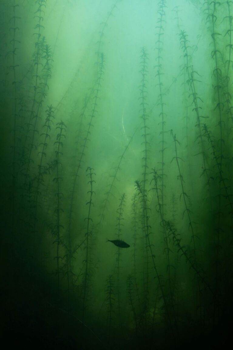
Vegetation is a massive indicator of fish health and location, but not all weeds are created equal. Use your satellite imagery to identify patches of submerged vegetation versus surface-level mats. In the heat of summer, those thick surface mats provide the shade and oxygen that fish crave, while sparse, deep-water vegetation is better during the cooler spring months.
Pay close attention to the shoreline contour as well. Points, cuts, and coves create natural funnels for baitfish, which in turn attract the predators you are hunting. If you see a point that extends far into the water, assume it’s a highway for fish moving between deep and shallow zones.
Optimizing Your Scouting Workflow for Success
The most effective workflow starts with a broad view of the entire lake to identify large-scale patterns. Narrow down your search to three or four specific areas that feature the structural elements you’ve researched. Once you have your targets, cross-reference them with wind direction and weather forecasts to predict where the fish will be feeding.
- Step 1: Scan for depth transitions and bottom structure.
- Step 2: Identify vegetation or cover that provides shade.
- Step 3: Use weather data to narrow down which of those spots will be active.
- Step 4: Save your waypoints and sync them to your boat’s electronics.
Scouting with satellite imagery isn’t just about finding fish; it’s about understanding the environment they live in so you can fish with intent. By picking the right tools for your specific style of angling, you’ll spend less time searching and more time with a tight line. Start small, verify your digital findings with real-world results, and watch your catch rates climb as you master the view from above.